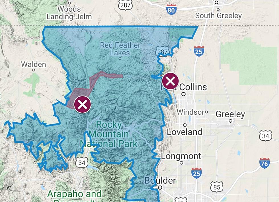
Satellite Imagery Shows Extent of Flooding in Weld County
Now, thanks to Weld County, you can see before and after satellite images of the area that was flooded by the Colorado Flood of 2013. Weld County Commissioners have purchased satellite imagery collected during the flood event by Digital Globe Inc. This imagery, which will allow county municipalities as well as county departments including the Assessor’s Office, Human Services and Planning to view images prior to and during the flood, will provide valuable information regarding affected areas and recovery-effort planning.
In addition to making the imagery available to local government and government departments for recovery work, the Board also wanted to make sure that you, the citizen, could see it too.
The map, features a slide bar which shows the pre and during flood imagery for locations throughout the county. Because the imagery was collected from space, some images include cloud cover.
More From Retro 102.5


![Park Destroyed by 2013 Flood to Reopen in Evans [PICTURES -VIDEO]](http://townsquare.media/site/48/files/2018/10/RiversidePark-Flyover1.jpg?w=980&q=75)


![Glen Haven Needs Your Help Rebuilding Town Hall [VIDEO]](http://townsquare.media/site/48/files/2013/09/2a.png?w=980&q=75)
