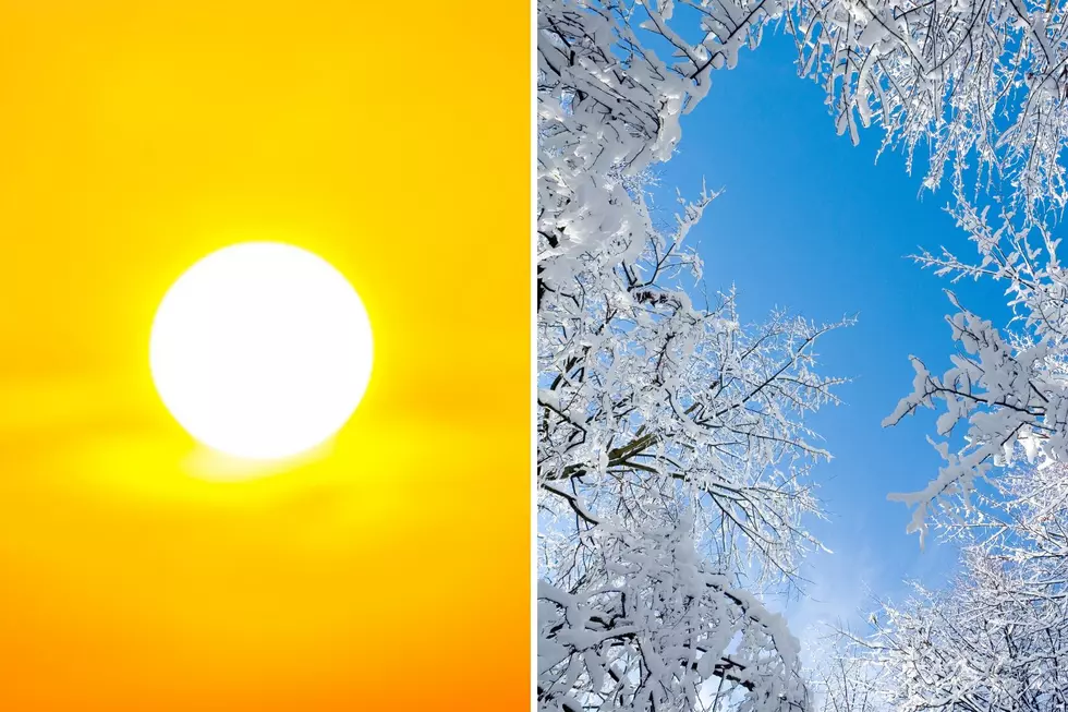
Winter Storm Warning for Northern Colorado Downgraded to Winter Weather Advisory
Just when you thought it was safe to put away the parka and break out the shorts, Winter weather rears its ugly head. Get all the details here...
The National Weather Service reports that the previous Winter Storm Warning has been cancelled, and replaced with a Winter Weather Advisory as the storm winds down. The advisory is in effect until 6pm Tuesday night.
TIMING...SNOW WILL CONTINUE THIS AFTERNOON...ESPECIALLY NORTH AND EAST OF DENVER...THEN DIMINISH THIS EVENING.
SNOW ACCUMULATIONS...ADDITIONAL ACCUMULATIONS OF 1 TO 3 INCHES CAN BE EXPECTED.
WIND/VISIBILITY...NORTH 15 TO 25 MPH WITH GUSTS TO 40 MPH EAST OF INTERSTATE 25. VISIBILITIES WILL DROP BELOW A QUARTER MILE IN SOME OPEN RURAL AREAS DUE TO BLOWING AND DRIFTING SNOW.
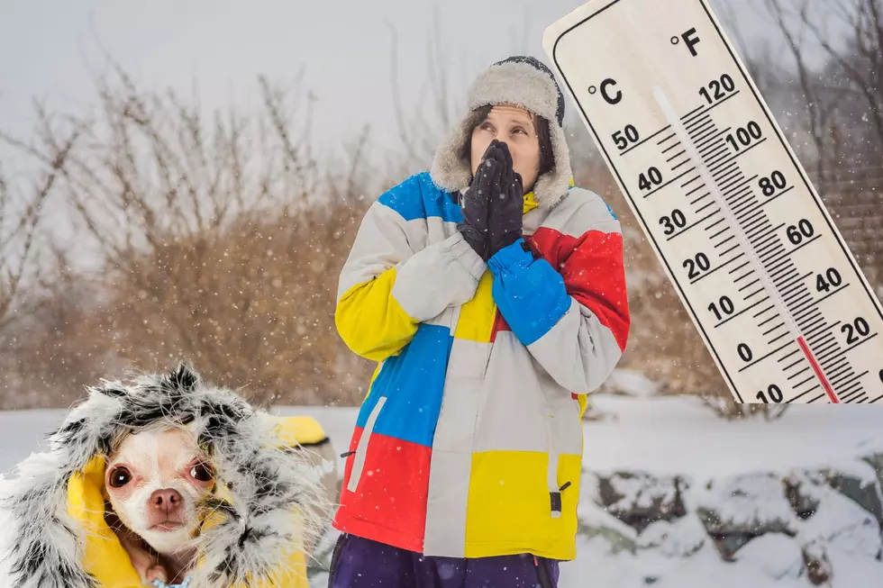
*IMPACTS...THERE WILL BE AREAS OF ICY AND SNOWPACKED ROADS...AND ALSO AREAS OF LOW VISIBILITIES DUE TO DRIFTING SNOW. WIND CHILLS WILL BE AROUND 10 BELOW ZERO.
PRECAUTIONARY/PREPAREDNESS ACTIONS...A WINTER WEATHER ADVISORY FOR SNOW MEANS THAT PERIODS OF SNOW WILL CAUSE PRIMARILY TRAVEL DIFFICULTIES. BE PREPARED FOR SNOW COVERED ROADS AND LIMITED VISIBILITIES...AND USE CAUTION WHILE DRIVING.
[via National Weather Service.]
Please continue to be safe out on those roads!
More From Retro 102.5